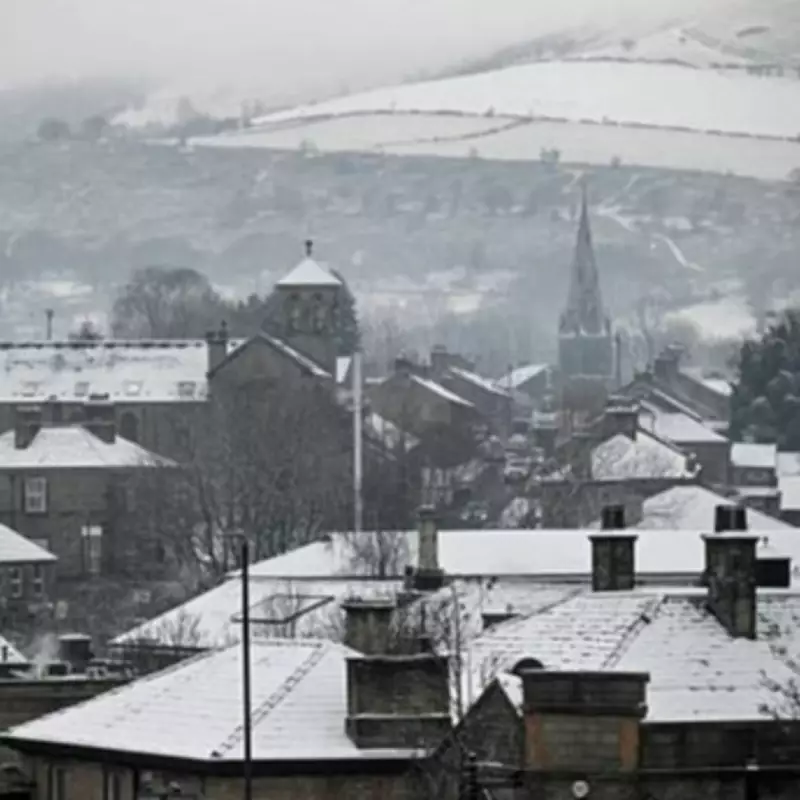
The Met Office has provided a comprehensive update on the wintry weather expected to sweep across the United Kingdom this weekend, specifically identifying which regions will be spared from snowfall. Forecasters have issued detailed predictions for Thursday, January 29, and Friday, January 30, as temperatures plummet nationwide, bringing significant snow to many areas while leaving others untouched.
Regions Set to Escape Snowfall
According to the latest meteorological data, several parts of the UK will avoid the anticipated snowfall this weekend. The areas that are expected to remain free from snow accumulation include:
- North West England
- North West Scotland
- Central Scotland
- South Scotland
- West Midlands
- East Midlands
- South East England
- South West England
- Greater London
These regions contrast sharply with areas facing significant snow, including the north east of England, northern England, and various hills across Scotland, where weather maps indicate a distinct white covering.
Weather Warnings and Rainfall Predictions
Simultaneously, Northern Ireland is under a yellow warning for rain, effective from midnight until Friday evening. Forecasters anticipate that this rainfall will fall on already saturated ground, potentially exacerbating local conditions. The wettest conditions are likely to concentrate over Antrim and Down, with many areas expected to receive between 10 and 25 millimetres of rainfall.
Expert Analysis on Long-Term Weather Patterns
James Maddden, a meteorologist from Exacta Weather, has provided insight into the broader weather patterns influencing current conditions. He stated, "Over the past several weeks, we have repeatedly posted at least seven to ten separate dated updates for a cold and snowy period during late January and early February due to earlier atmospheric disturbances and Sudden Stratospheric Warming events."
Maddden further explained that these same updates indicated potential future atmospheric disturbances and Sudden Stratospheric Warming events, which could result in additional cold and wintry weather specifically in March 2026. He added, "Another Sudden Stratospheric Warming event and some quite remarkable atmospheric disturbances are now also looking extremely likely during early February, and this is likely to pave the way for further but unseasonable cold and snow during March 2026 or possibly a little earlier."
Outlook for Coming Weeks and Beyond
The meteorological outlook suggests that the current cold and snowy conditions are set to persist, with an enhanced likelihood of further wintry weather extending into the start of the meteorological spring. Maddden concluded, "The outlook for further enhanced cold and snow in addition to what is expected over the coming weeks is therefore good to excellent on this basis and is set to continue well into March 2026. The door to further and even enhanced cold weather and snow is about to open for many over a potentially prolonged period."
This detailed forecast highlights the dynamic and potentially prolonged nature of the UK's winter weather, with specific regions identified for both snowfall and exemption, providing residents with crucial information for planning and preparedness.


