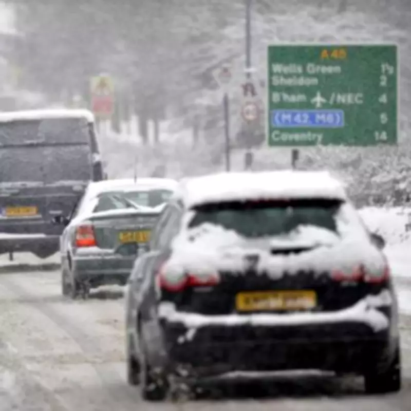
New weather mapping data has pinpointed the precise hour that a significant snow event is forecast to strike the United Kingdom next week, with the West Midlands confirmed to be in the firing line. Detailed charts from WX Charts, which utilises Met Desk meteorological data, indicate that Tuesday, February 3, will see the onset of wintry conditions across a broad swathe of the country.
Snowfall Timing and Regional Impact
The analysis reveals that the initial flurries are projected to begin falling at exactly 6pm on Tuesday evening. This wintry precipitation is expected to affect northern England, the Midlands, Wales, and Scotland. For residents in the West Midlands, the maps show a substantial band of snow covering areas including Staffordshire and Stoke-on-Trent, extending northwards across the region.
Temperature Plunge and Widespread Coverage
Accompanying the snowfall will be a notable drop in temperatures. Forecasts suggest the mercury could plummet to as low as -3°C in some areas, with even daytime temperatures in England struggling to reach above 2°C in places. The weather charts depict a widespread blanket of snow stretching from the Scottish Highlands down through the Midlands, indicating a potentially disruptive winter weather event.
Expert Analysis and Weather Outlook
James Madden, a forecaster from Exacta Weather, has provided commentary on the developing situation. He stated that the outlook for next week is now showing a significantly heightened risk of more widespread and notable snow pushing across the UK. "The outlook heading into next week is now significantly heightening for more widespread and notable snow pushing in across our shores," Madden explained.
He further elaborated on the forecast challenges, noting, "Unfortunately, timings and expectations of the weather can often vary and even disappear or change altogether from previous and strong projections." Madden emphasised that despite some earlier model inconsistencies, his firm maintained projections for cold and snow this week, contrasting with milder forecasts from other public service weather providers.
A Week of Wintry Disruption
The forecaster indicated that the snow risk is not confined to a single day. The period from Tuesday through Thursday is highlighted for potential disruptions, with the possibility of snow even pushing into parts of southern England as the week progresses. This aligns with longer-range projections made several months ago for late January and early February, pointing to a sustained period of wintry weather driven by major atmospheric disturbances.
As the data crystallises, authorities and residents in the West Midlands and other affected regions are advised to monitor forecasts closely and prepare for potential travel disruptions and hazardous conditions associated with the anticipated snowfall and freezing temperatures.


