Midlands Postcode Where Extreme Wealth and Poverty Coexist Within One Mile
Residents within the same postal district often share similar living conditions and socioeconomic backgrounds, but one West Midlands postcode reveals a startling exception to this pattern. The WV6 area in Wolverhampton showcases a dramatic contrast between affluent and deprived neighborhoods, all within a remarkably short distance.
Geographical Quirks Create Socioeconomic Extremes
While many postcode areas feature consistent characteristics throughout their boundaries, WV6 presents a curious case of geographical diversity. This extensive postal district stretches from the outskirts of Wolverhampton city center westward into the leafy regions of Staffordshire and Shropshire, creating an unusual mixture of communities with vastly different economic circumstances.
The housing market within this single postcode demonstrates this divide with remarkable clarity. Properties in WV6 range from modest homes priced around £150,000 to luxurious residences exceeding half a million pounds. This creates a situation where the average house price of £314,000 fails to accurately represent the area's true nature, which tends toward economic extremes rather than middle-ground values.

Less Than a Mile Separates Contrasting Worlds
The physical proximity between these socioeconomic extremes is particularly striking. Traveling less than one mile along Tettenhall Road reveals the complete transformation from one reality to another. Beginning at the junction with Newhampton Road West in one of Wolverhampton's more deprived sections, this short journey concludes in the desirable center of Tettenhall, widely regarded as one of the city's most attractive residential areas.
This geographical closeness creates a situation where residents living within the same postal code experience dramatically different daily realities. The contrast becomes especially apparent when examining specific neighborhoods within the WV6 boundaries.
Whitmore Reans Versus Tettenhall and Wightwick
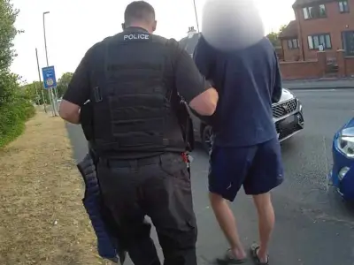
Whitmore Reans represents one of the more challenging areas within the West Midlands region, having experienced serious criminal incidents including shootings and stabbings over recent years. The tragic double shooting on Leicester Street in September, which claimed the lives of Duaine Mills and Syed Zain Ali, highlights the security concerns facing this community.
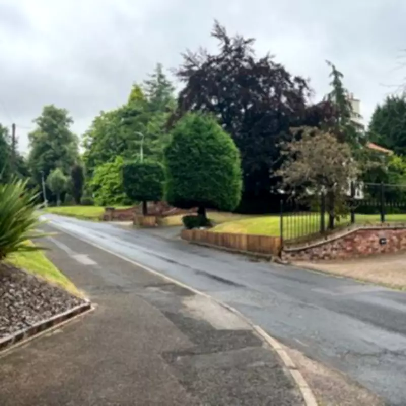
Meanwhile, just a short distance away, the streets of Tettenhall and Wightwick present an entirely different picture. These neighborhoods are home to some of Wolverhampton's wealthiest residents and most exclusive properties, where crime appears significantly more distant than the actual geographical separation would suggest.
The WV6 postcode serves as a microcosm of broader socioeconomic divides, demonstrating how extreme wealth and poverty can coexist within remarkably close proximity. This unusual geographical arrangement raises important questions about community dynamics, resource distribution, and urban development patterns in modern British cities.