
The Met Office has identified fifteen English counties that will avoid the final snowfall expected to hit the UK on Thursday, according to detailed weather maps published by the national forecaster.
Final Winter Blast Arrives
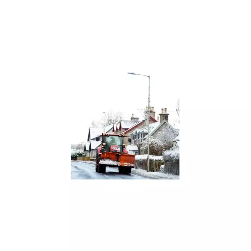
Thursday is predicted to bring the last significant snowfall of this current cold spell, with a mixture of amber and yellow weather warnings issued across various regions. The most severe conditions are expected in Yorkshire and the North East, where accumulations could reach up to ten inches in some areas.
Separate yellow weather warnings have been issued for eastern England and the south west, indicating potential disruption to travel and daily activities. The Met Office maps clearly illustrate which areas will bear the brunt of this final winter onslaught.

Counties Escaping the Snow
The fortunate regions avoiding significant snow accumulations include Cornwall, Wiltshire, Somerset, Dorset, Hampshire, Sussex, Gloucestershire, Greater London and Berkshire. Completing the list are Oxfordshire, Buckinghamshire, Hertfordshire, Bedfordshire, Northamptonshire and Warwickshire.
These areas will experience cold but predominantly dry conditions, with the snow showers largely confined to other parts of the country.
Expert Analysis and Regional Impacts
Jo Farrow from Netweather TV provided detailed analysis of the situation: "Northern Scotland continues with a rash of showers. These will add to lying snow over the high ground today and tomorrow with a wet or wintry mix to lower levels."
Temperatures in Aberdeen, Glasgow and Edinburgh will struggle to reach just 3°C today, with inland areas facing snow showers overnight and an increased risk of ice formation. Northern Scotland could see between 5cm to 20cm of snow accumulation depending on how the showers distribute across the region.
Ms Farrow added: "We have northern Scotland catching most of the snow showers, a few glancing past Pembrokeshire and a real focus on the east coast of Britain."
The forecaster also noted that additional Met Office warnings for snow and ice are in place as lines of showers hit eastern England. The north-northwesterly wind is pulling showers along the Yorkshire coast, sometimes extending into northeast England, Lincolnshire and East Anglia.
While central and southern Scotland along with much of England will remain relatively sheltered from the worst conditions, residents in affected areas should prepare for potential travel disruption and hazardous conditions as this final winter blast makes its presence felt.


