
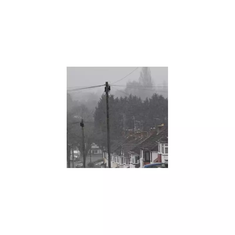
While parts of the UK brace for wintry conditions, a significant portion of England is set to remain completely free of snowfall this week. This comes despite projections of up to 7cm of snow accumulating in other regions, primarily across Scotland and northern England.
The Regions Escaping the White Stuff
According to early meteorological projections, a clear geographical divide will spare the Midlands and the entire south of England from any snow dustings. The list of counties expected to see "nothing" includes the West Midlands, Worcestershire, Warwickshire, and Herefordshire.
Further east, residents in Northamptonshire, Buckinghamshire, Bedfordshire, and Hertfordshire can also expect to avoid the snow. The reprieve extends across East Anglia and the Home Counties, encompassing:

- Norfolk
- Suffolk
- Cambridgeshire
- Lincolnshire
- Rutland
The southern coastal and western counties are equally fortunate, with the Isle of Wight, Berkshire, Greater London, Surrey, Essex, Wiltshire, Sussex, Gloucestershire, Somerset, Kent, Cornwall, Devon, and Dorset all set for a snow-free week.
Winter's Early Arrival and the Forecast Battle
Met Office Meteorologist Honor Criswick confirmed that it will feel like winter has arrived early, but noted there will be "wall to wall" blue skies for many. The BBC Weather team elaborated on the developing situation, indicating a climatic battle is underway.
"This weekend and the start of the new week will become drier but colder," they stated. "A battle will be waged between cold air to the north and much milder conditions to the south." The cold air is expected to triumph, surging southwards and bringing a distinct chill.
What to Expect This Week
The weather pattern will see a low-pressure system move across the UK on Tuesday, bringing rain and the potential for hill snow. As this system clears, particularly in Scotland, some wintry precipitation may fall at lower levels in northern regions.
Following this, northerly winds will reinforce the cold feel, bringing further showers to windward areas, some of which are expected to be wintry. Sheltered areas will experience cold and frosty conditions but will also see sunshine at times.
There is some relief on the horizon, however. The forecast suggests that by Friday and the weekend, milder air will begin to arrive, causing temperatures to tick upwards towards seasonal norms. This shift may be accompanied by a frontal system bringing rain, with a chance of higher-elevation snow initially in the north.


