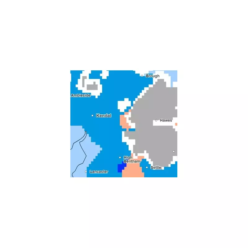
The Met Office has issued a new weather forecast indicating that a biting Arctic blast is set to bring snow to parts of England this coming weekend. However, a detailed weather map reveals a stark divide, with a significant portion of the country expected to escape the wintry conditions entirely.
Regions Spared from the Snow
According to the forecast, the predicted snow flurries will be largely confined to higher ground in the north of England. The primary takeaway is that 32 counties across England are set to completely avoid this Arctic blast.
This includes the entirety of the Midlands, the Southeast, and the Southwest regions. A long list of Midlands counties, including Derbyshire, Nottinghamshire, Leicestershire, and the West Midlands, will not see any snow. They are joined by Warwickshire, Shropshire, Staffordshire, and Northamptonshire.
In the south, populous areas like Greater London, Kent, and Surrey are not expected to receive a dusting. Similarly, the entire South West, encompassing Cornwall, Devon, Dorset, and Somerset, is predicted to escape the heavy flurries.
Weekly Weather Outlook and Changes
The week began with clear skies leading to a widespread frost on Tuesday morning. This cold, bright spell was expected to be followed by thickening cloud and patchy rain moving east across the country.
A significant shift is forecast from Thursday onwards, as a strengthening southwesterly wind pushes milder air across the UK. This will cause temperatures to rise notably, with forecasts suggesting they could widely reach the low teens, potentially hitting 13°C or 14°C in some areas on Thursday and Friday.
These days will be changeable, with a mix of showers, brief rain, and some sunny spells. However, a deep low-pressure system near the Faroes will bring very strong winds to the far northwest on Thursday night and Friday morning. The Met Office warns that gusts could reach 70–80mph in the Western Isles during this period.
Weekend and Beyond
The overall outlook for the weekend remains highly changeable. The forecast suggests a mix of showers or longer spells of rain across the country. While temperatures will be mild at the start of the weekend, they are expected to turn colder again by the end of the week, marking a return to more seasonal conditions after the brief milder interlude.


