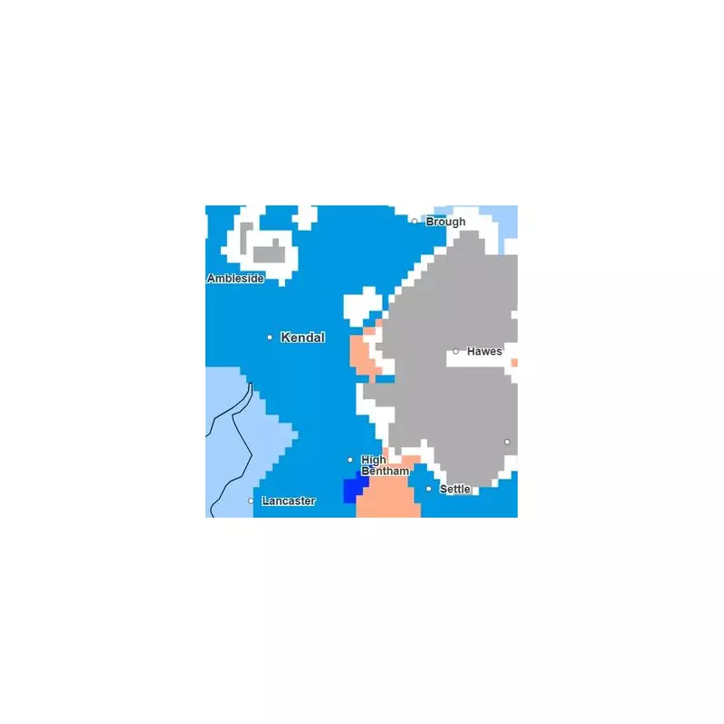
The Met Office has identified the specific parts of England that will dodge the incoming wintry weather, with a fresh Arctic blast expected to bring a return of snow this weekend.
Counties Spared from the Snow
Forecasters indicate that while snow is likely to hit some areas, particularly higher ground in the north, a significant portion of the country will remain unaffected. Detailed maps show that 32 counties are set to be spared from any snowfall.
The list of counties escaping the snow includes Derbyshire, Nottinghamshire, Lincolnshire, Leicestershire, the West Midlands, Warwickshire, Worcestershire, Herefordshire, Shropshire, Staffordshire, and Northamptonshire.
Additionally, Norfolk, Suffolk, Bedfordshire, Buckinghamshire, Hertfordshire, Wiltshire, Cambridgeshire, Oxfordshire, Hampshire, Sussex, Surrey, Kent, Essex, Berkshire, Greater London, Cornwall, Gloucestershire, Somerset, the Isle of Wight, Devon, and Dorset will also avoid the flurries.
Weekend Weather Turn and Forecast Details
The cold snap is anticipated to arrive on Sunday, causing temperatures to plunge and creating the conditions for snowfall. However, the Met Office emphasises that any snow will be confined to northern regions, especially elevated areas, and will likely be light.
Nick Finnis, a forecaster from Netweather, provided further insight into the week's conditions. He stated: "It’s a chilly start to this week, in the northerly flow, though not as cold as last week, and at least will be dry for many today, with some decent spells of sunshine, as a ridge of high pressure builds in."
He added that a widespread frost is expected for Tuesday morning before cloud and patchy rain move in from the west.
A Milder Interlude Before the Cold
The weather is set to become significantly milder from Thursday, driven by a strengthening southwesterly wind. Temperatures are forecast to reach the low teens, potentially 13-14°C in some places on Thursday and Friday.
This period will be changeable, with showers or brief rain spells, alongside some sunny intervals. It will be generally windy, with very strong gusts forecast for the far northwest, where gusts of 70-80mph are possible near the Western Isles.
The Met Office outlook confirms this pattern: "Changeable over the next few days with showers or longer spells of rain. Strong winds in parts of the north. Mild at first, but turning colder to end the week." This sets the stage for the colder weekend conditions and the potential for snow in specific northern locales.


