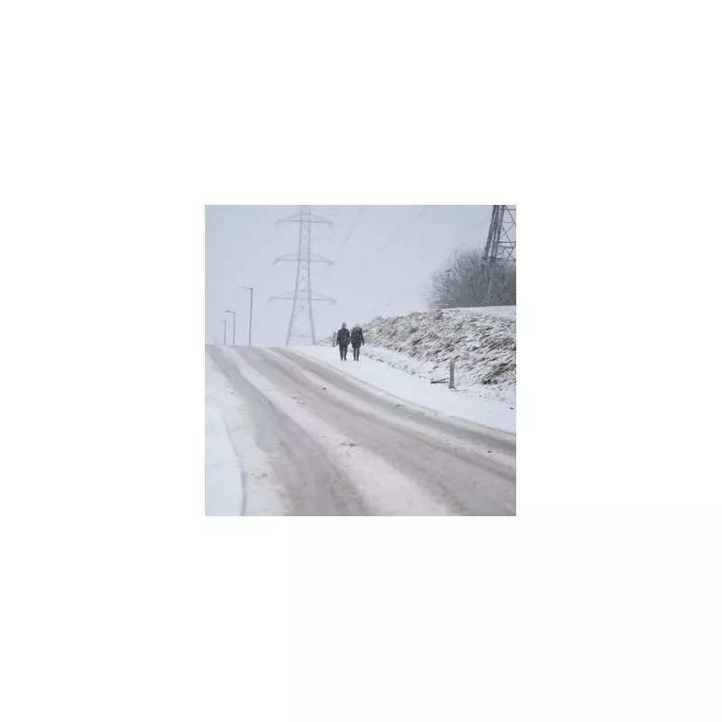
The Midlands is preparing for a dramatic return to wintry conditions as weather forecasts predict significant snowfall and heavy rainfall arriving next week.
Winter Weather Set to Strike
According to detailed analysis from WX Charts, a large multi-coloured weather system will sweep across North Wales and the Midlands on Saturday, November 29. The vivid weather maps show distinct bands of purple, indicating snowfall, alongside shades of orange and green representing heavy rainfall.
At midnight on November 29, the most intense snow activity is expected to be centred over North Wales, extending into the fringes of Shropshire. The data suggests remarkable snowfall rates, with areas of Snowdonia potentially receiving up to 7.5cm of snow per hour, while Oswestry could see accumulations of up to 5cm.

Heavy Rain and Changing Patterns
Simultaneously, the same weather system will deliver substantial rainfall across the region. Parts of Shropshire are forecast to experience 13.2mm of rain falling every hour, creating challenging conditions for residents and travellers.
By 6am on Saturday morning, the snow band is predicted to shift southeast, moving over Worcestershire, Gloucestershire, Warwickshire and Somerset. The snowfall is expected to reach the southern fringes of Birmingham, bringing wintry conditions to the metropolitan area.
The band of heavy rain will simultaneously pass over the West Midlands, East Midlands and into parts of Yorkshire. Specific forecasts indicate that eastern Birmingham and Solihull could receive 15.6mm of rainfall during this period.
Long-Range Weather Outlook
The Met Office long-range forecast from Tuesday, November 24 to Thursday, December 4 suggests a complex weather pattern developing. Initially, many eastern coastal counties will experience cloud and showers, with the far north potentially seeing wintry showers.
However, the meteorological service indicates that high pressure building from the Atlantic should bring drier and more settled conditions mid-next week. Unfortunately, this settled period isn't expected to last long, as Atlantic weather systems are forecast to return the UK to more changeable and unsettled conditions.
The Met Office notes that temperatures will initially start cold but should rise as Atlantic weather systems arrive, likely remaining above average for the period. Confidence in the forecast remains very low towards the end of the period, though there's an increasing chance of more settled spells returning.