
Winter has arrived early across England as significant snowfall was reported in numerous regions on Wednesday, November 19, with forecasters warning that up to ten inches could accumulate in the coming days.
Where is the snow falling right now?
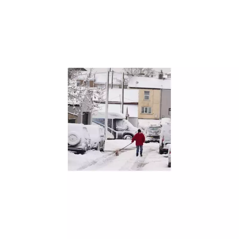
Snow flurries have been witnessed from the south to the north of the country. In a surprising turn for many, the wintry weather reached the capital, with sightings in Greater London. Former ITV Good Morning Britain presenter Piers Morgan even took to social media, exclaiming, "BREAKING NEWS: It’s snowing in West London."
The cold snap is widespread, with snow also reported in:

- Leeds and parts of rural Yorkshire
- Tow Law and Castleside in County Durham
- Northumberland at Kiln Pit Hill
- Cumbria's A9 and the Lake District
- Areas including Castlehead, Carrshield, Nenthead, and Leadgate
- Gloucestershire, Hampshire, Wiltshire, and the Home Counties
Severe weather warnings and snowfall predictions
The Met Office has issued multiple Yellow National Severe Weather Warnings for ice and snow, covering the coming days. These warnings extend across Northern Ireland, parts of Wales, northern and southwest England, and much of Scotland.
The most significant accumulations are expected on higher ground. Forecasters predict that 15-20 cm could accumulate in parts of Scotland, with the potential for a staggering 15-25 cm (up to ten inches) over the North York Moors and Yorkshire Wolds.
Expert insight on the UK's cold spell
Jo Farrow, from Netweather TV, provided analysis ahead of today's weather, stating, "It’s cold, there is ice and snow for parts of the UK. So far, that has mostly been over hills and mountains, but we are now into even colder Arctic air, so more of the showers will be turning to sleet and snow inland. This cold spell will last until Friday with a change at the weekend."
She explained that the recent mild weather had prevented snow from settling, but the dynamic is shifting. "However, as we see successive cold nights and this colder air by day, any snowfall will find it easier to settle and build up, especially over the high ground in the north." Farrow added that the UK is now transitioning into a "colder northerly, a simpler flow," marking a clear start to this wintry period.


