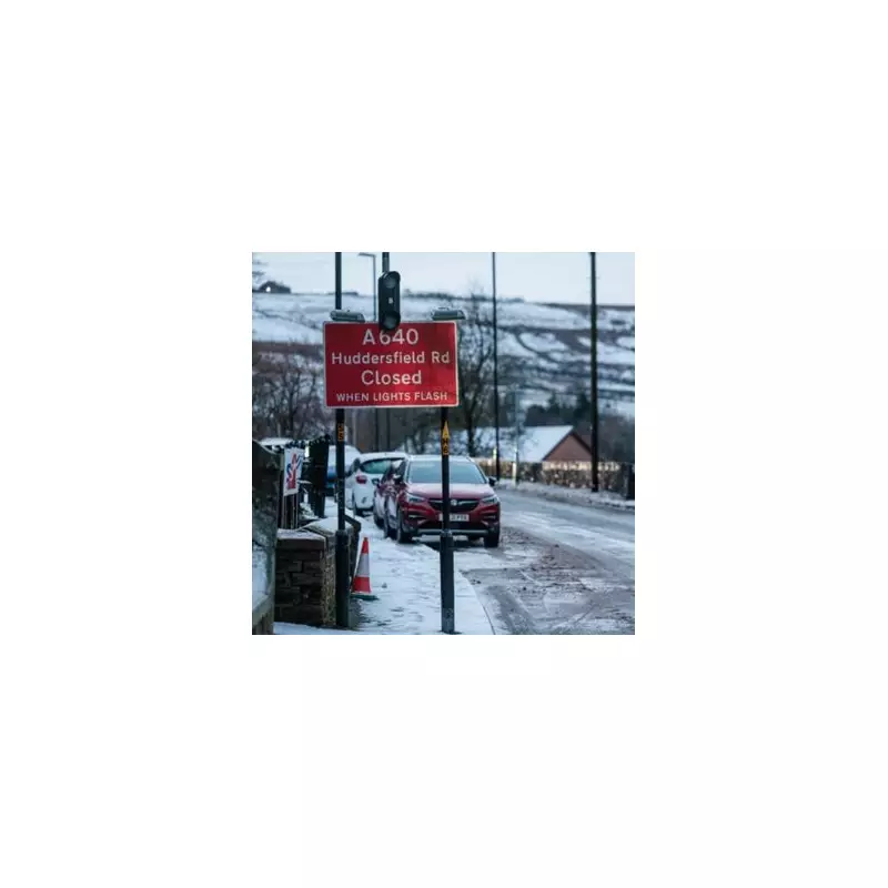
The United Kingdom is preparing for a significant winter weather event, with forecast maps indicating a colossal 400-mile band of snow is poised to strike. The severe wintry conditions are expected to return around Tuesday, January 27, 2026, as a huge mass of frigid Arctic air descends upon the country.
Maps Show Widespread Snow Risk
Data visualisations from WX Charts, which utilises information from Met Desk, reveal the extensive scale of the impending snowfall. The charts suggest a blizzard spanning approximately 400 miles will approach, blanketing large parts of both England and Scotland. The system is driven by a formidable mass of cold air originating from Siberia.
Regions highlighted as being at particular risk include East Anglia, the south west of England, and the north east and north west of the country. The projections are not limited to northern Britain, however, with significant snow symbols also appearing over Greater London and southern areas on the forecast maps.
Substantial Snowfall Accumulations Predicted
The depth charts present a concerning picture for some areas. According to the models, the north west of England and Scotland could see accumulations of up to 20cm. More extreme totals are possible further north, where parts of Scotland may be buried under as much as 50cm of snow.
In England, counties such as Cumbria, Northumberland, and Durham are forecast to potentially receive up to 33cm of fresh snow, which would cause major disruption to travel and daily life.
Met Office Outlook Points to Colder Shift
The official Met Office forecast for the latter part of January, covering the period from January 20, outlines a battle between weather systems. It states that initially, milder Atlantic air will dominate, bringing cloudy, changeable conditions with rain showers for most.
However, the forecast crucially notes: "Later in the period, there is an increased chance that conditions will turn colder. This aspect of the forecast is still somewhat uncertain but the potential transition to colder weather also increases the chance of snow across parts of the country."
This official guidance aligns with the more specific modelling from WX Charts, pointing to a heightened risk of significant snow events as January draws to a close. Residents across the highlighted regions are advised to monitor updates and prepare for potential travel disruption and cold weather impacts from around January 27 onwards.


