
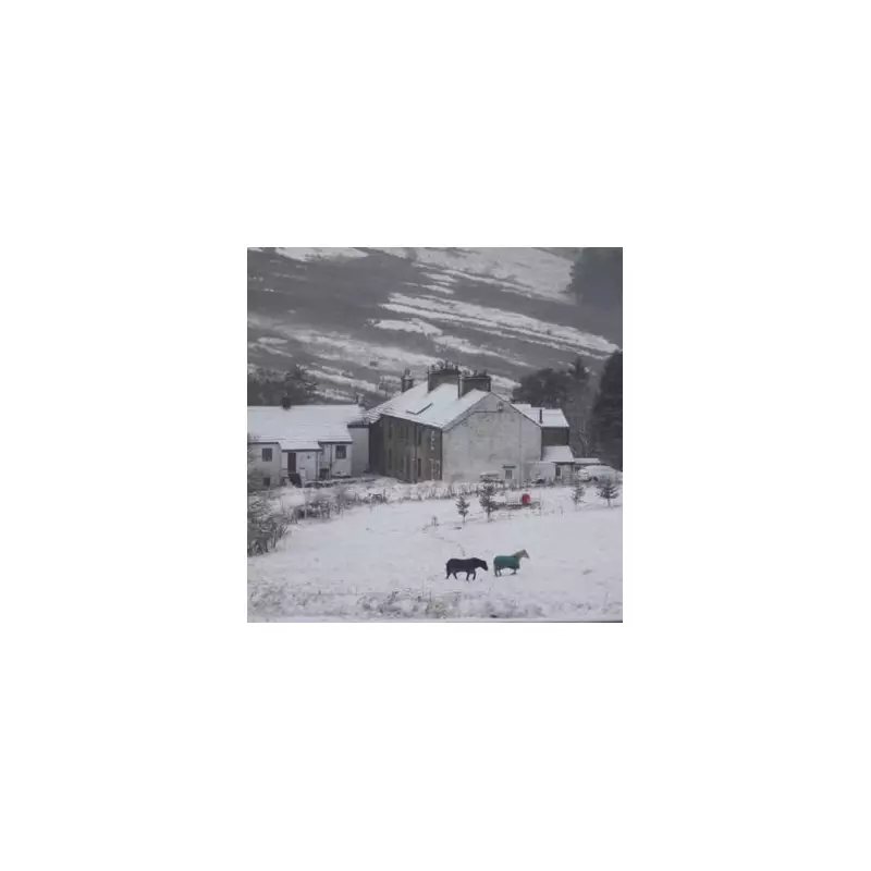
The UK is set to experience a bitter cold snap, with forecasters warning that temperatures could plummet to a staggering -10 degrees Celsius in parts of Scotland. The Met Office has indicated that the coming days will feel more akin to a Siberian winter, with a significant downturn in conditions expected from Wednesday, November 19.
Arctic Blast Brings Siberian Conditions
According to meteorologists, the dramatic drop in temperature is being driven by a blast of cold air originating from Siberia. Meteorologist Alex Burkill confirmed that this frigid air mass is travelling across the Arctic Ocean before reaching British shores. This pattern is set to make the UK feel exceptionally cold for this time of year.
Met Office meteorologist Annie Shuttleworth elaborated on the immediate risks, stating that weather warnings are in force for the latter part of the week. She highlighted that cold weather systems will bring a focus on hill snow, most likely in Scotland, with accumulations also expected in the Pennines and the Peak District.

Widespread Impacts: Snow, Ice, and Biting Winds
The wintry conditions are not confined to higher ground. Ms Shuttleworth warned of brisk northerly winds and a significant drop in temperatures compared to previous days. While southern and western parts might see highs of around 11C, the overall feel will be much cooler.
The forecaster added that cloud and rain will continue throughout the evening, increasing the risk of ice forming on surfaces. She specifically noted that the Peak District will see snow accumulations overnight, leading to a wet start on Wednesday that will move into parts of Wales and northern Scotland. As the day progresses, these accumulations are expected to build up significantly, with temperatures dropping close to freezing.
Rural areas are forecast to experience a harsh frost on Wednesday, compounded by a more direct northerly wind. The Met Office's brief headline summarises the situation starkly: "Cold with some rain, snow and ice next few days."
National Outlook and Weekend Prospects
An interactive map from the Met Office shows the wintry weather sweeping southeastwards across the UK. In a post on X, the national agency detailed the mixture of rain, sleet, and snow, noting that snow will be mostly over higher ground in Scotland, falling as sleet to lower levels in the north of England.
BBC weather forecaster Carol Kirkwood provided a timeline for the cold snap, confirming that the cool conditions are set to continue until the weekend. She stated, "But before that we are looking at a cold rest of the week and not just by day but also by night with some frost and the chance of some ice." Kirkwood also highlighted that showers continuing across south Wales and the South West could see some snow falling at low levels across the north of Scotland. Only by the weekend are temperatures expected to recover to double figures, offering some respite from the deep freeze.


