
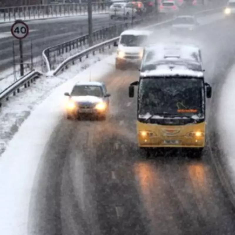
UK Braces for Two Major Snow Storms Within 72 Hours, Dates Confirmed
The United Kingdom is facing a severe winter weather event with two separate snow storms predicted to strike within a 72-hour period, according to the latest forecasts. The exact dates for these wintry fronts have been announced, putting many regions on high alert for significant disruptions.
First Snow Storm Arrives on February 15
The initial snow storm is scheduled to hit the UK on Sunday, February 15, following Valentine's Day. This weather system is expected to bring blizzard conditions, with maps from WX Charts indicating that Birmingham is among the areas at risk. Other regions under threat include Yorkshire, Greater London, and the East of England, particularly Norfolk and Suffolk.
Snowfall is projected to begin at 6 a.m. on Sunday, covering England with up to three inches of accumulation. In Scotland, the situation is more extreme, with the Scottish mountains potentially receiving up to 160 centimeters (63 inches) of snow, while southern Scotland could see around 13 centimeters (five inches).

Second Snow Bomb Follows on February 17
A second snow storm is forecast to arrive on Tuesday, February 17, delivering heavy flurries to Northern Ireland and Wales starting at approximately 6 p.m. This system is predicted to bring intense snowfall, with accumulation rates reaching roughly four inches per hour in some locations.
By February 18, snow coverage charts suggest that the North Pennines could be the worst-hit area in England, with as much as 48 centimeters (19 inches) of snow lying on the ground. This poses significant risks for travel and infrastructure in the region.
Met Office Forecast and Long-Term Outlook
The Met Office has issued a forecast for February 17, detailing unsettled conditions dominated by Atlantic low-pressure systems. The forecast states: "Showers or longer spells of rain as well as occasional strong winds are most likely as Atlantic low pressure systems dominate in the vicinity of the UK. Some heavy rain is likely in places, with some snow at times in the north, mainly on high ground. Temperatures varying from around average to cold at times, especially in the north."
While the weather is expected to remain unsettled, there may be brief drier periods between systems. Looking further ahead, from February 27 onwards, the Met Office indicates low confidence in the dominant weather patterns. There are signals for both unsettled conditions with heavy rain and periods of drier, more settled weather, which could lead to colder temperatures. The latter pattern is considered slightly more probable, especially early in this period.
Residents across the UK, particularly in high-risk areas like Birmingham, are advised to stay updated on weather warnings and prepare for potential travel delays and hazardous conditions as these two snow storms approach.


