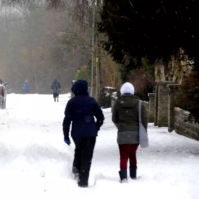
UK Braces for Massive Snow Bomb: 38 Inches Forecast with 615-Mile Radius
New weather projections have upgraded the anticipated snow event in the UK to a staggering 38 inches, with a massive 615-mile radius expected to be covered. According to maps from WX Charts, which utilise Met Desk data, a mammoth 97 centimetres of snow is forecast to hit the country next week.
Widespread Snow Coverage Across the Nation
The weather maps show a bright white hue beginning on Tuesday, February 17, indicating a huge Arctic mass engulfing the entire UK. From Herefordshire in the south to northern Scotland, nearly every region is likely to be impacted by this significant snowfall.
In total, the snow will cover an extensive 615-mile stretch from Hereford to John O'Groats. Northern areas, particularly the Highlands, are projected to be the worst-hit, with some parts receiving up to 97 centimetres of snow. Surrounding regions could see accumulations of up to 12 centimetres.
Expert Analysis and Weather Patterns
Jo Farrow from Netweather TV provided insight into the upcoming conditions. "A low pressure in the North Sea will throw bands of snow showers over NE and E. Britain," she explained. "These will be well scattered with a lot of dry weather appearing."
Clusters of snow showers are expected along the Yorkshire coast overnight into north Norfolk, potentially leaving a few centimetres of snow by Saturday morning. The North Yorkshire Moors are identified as particularly prone to these conditions.
"It will be cold and frosty, there will be ice but also sunshine!" Farrow added. "A brief ridge of high pressure will bring a settled chilly Saturday before high cloud reaches Northern Ireland in the afternoon. Make the most of it if you can."
Met Office Forecast for the Coming Weeks
The Met Office has issued an update for the period starting February 15, indicating that Atlantic low pressure systems will dominate the weather patterns. "Showers or longer spells of rain are expected as Atlantic low pressure systems dominate in the vicinity of the UK," the forecast states.
Heavy rain is likely in some areas, particularly on western hills, with occasional snow in the north, mainly on high ground. Strong winds are possible, especially around coastal regions. Temperatures are expected to be near normal for this time of year.
Looking further ahead into late February, the Met Office notes low confidence in the dominant weather patterns. "There are signals for both unsettled conditions, bringing a risk of some heavy rain, but also periods of drier, more settled weather, which may mean colder conditions," the forecast explains.
The latter, more settled pattern is considered slightly more probable at this stage, especially early in the period. Residents across the UK are advised to stay updated with the latest weather warnings and prepare for potential disruptions due to the significant snowfall forecast for next week.


