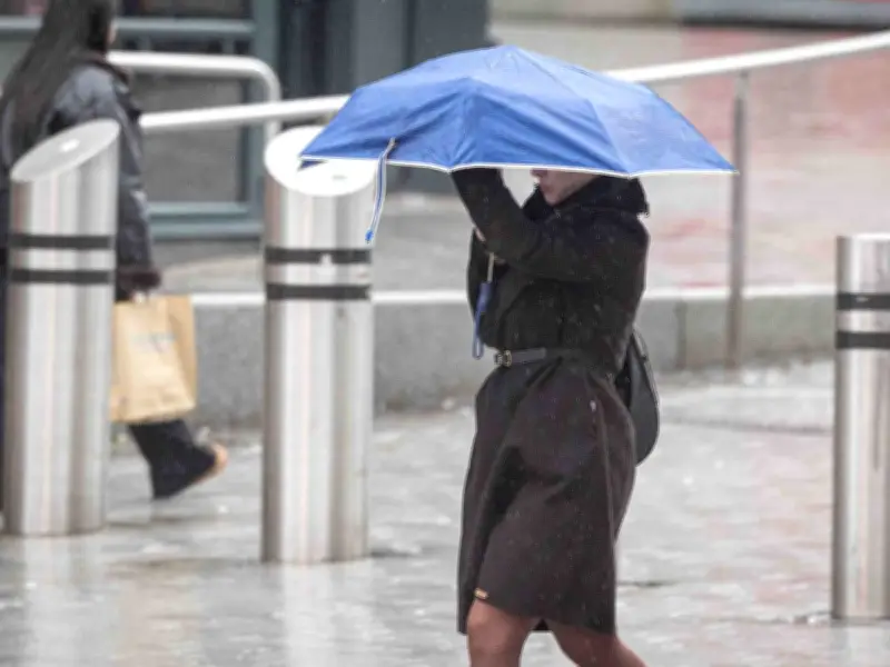
The Met Office has forecast showers across Birmingham this week as cloud cover increases over the coming days. After a recent heatwave, temperatures have cooled significantly, with a maximum of 26°C expected by Tuesday.
Monday's Weather
According to the Met Office, Monday will start with blue skies, but some cloud will develop through the morning. There will still be plenty of sunny spells, feeling very warm with light winds. The maximum temperature is set to reach 23°C. The evening will be dry and fine with plenty of sunshine, staying dry overnight with clear spells, some patchy cloud, and light winds. The minimum temperature will be 10°C.
Tuesday and Beyond
Tuesday will continue largely fine, dry, and settled, with skies turning a little hazy at times. It will be slightly warmer than Monday, with a maximum temperature of 26°C. The outlook for Wednesday to Friday suggests largely dry conditions with variable amounts of cloud and sunny spells. However, a few showers are possible where the cloud thickens. Temperatures will be around or just above average.
Long-Range Forecast
The Met Office's long-range forecast indicates continued unsettled weather over the next few weeks. Friday will be dry for most with sunny spells. Into the weekend and perhaps the start of next week, more unsettled weather is expected with rain at times, especially across northern parts of the UK. This rain may reach southern areas but could become lighter and patchier. Confidence lowers as the month turns, but there are signs that high pressure will return, bringing dry conditions, especially in the south. Winds will be mostly light or moderate, occasionally fresh around northern coasts. Temperatures are expected to be near or above normal, warmest in the south, perhaps becoming very warm again by the start of August.