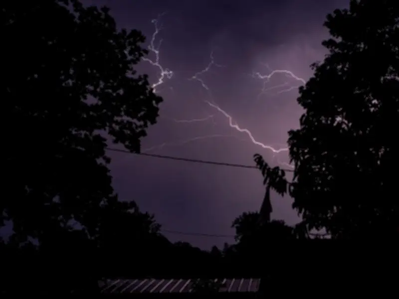
The Met Office is urging people across parts of Birmingham and the wider West Midlands to consider preparing an “emergency” kit as thunderstorms bring the risk of torrential rain, flooding and power cuts.
Yellow weather warning in force until 10pm
A yellow weather warning for thunderstorms is in place until 10pm today, covering a huge area of England and Wales, including the West Midlands Conurbation, Warwickshire, Worcestershire, Staffordshire and Shropshire.
The warning comes after another thunderstorm alert was issued yesterday, with forecasters warning that as much as 75mm of rain could fall in some places within 12 hours, according to The Mirror.
There is also a risk of lightning strikes, hail, flooding and power cuts, with the Met Office urging people in areas vulnerable to flash flooding to consider preparing for the severe weather.
What should you put in an emergency flood kit?
The Met Office says: “Consider preparing a flood plan and an emergency flood kit” if your area is prone to flash flooding.
It recommends including the following items:
- Insurance documents and a list of contact numbers
- A torch and spare batteries
- A first aid kit and any prescription medicines
- Warm, waterproof clothes and blankets
- Bottled water and snacks
- A battery or wind-up radio
- Supplies needed to look after a baby or pet
People are also being urged to secure moveable objects or temporary structures before strong winds arrive. This could include bins, garden furniture, trampolines, tents, gazebos, sheds and fences.
The Met Office is also advising people to prepare for possible power cuts by gathering torches, batteries, a mobile phone power pack and other essential items.
Areas covered by the thunderstorm warning
The warning covers 73 areas across England and Wales. Areas in and around the Birmingham region include:
- Staffordshire
- Stoke-on-Trent
- Telford and Wrekin
- Shropshire
- Warwickshire
- West Midlands Conurbation
- Worcestershire
- Herefordshire
Other areas covered by the warning are: Derby, Derbyshire, Leicester, Leicestershire, Lincolnshire, Northamptonshire, Nottingham, Nottinghamshire, Rutland, Bedford, Cambridgeshire, Central Bedfordshire, Essex, Hertfordshire, Luton, Norfolk, Peterborough, Suffolk, Buckinghamshire, Milton Keynes, Oxfordshire, Blackburn with Darwen, Blackpool, Cheshire East, Cheshire West and Chester, Cumbria, Greater Manchester, Halton, Lancashire, Merseyside, Warrington, Bristol, Gloucestershire, North Somerset, South Gloucestershire, Swindon, Wiltshire, Blaenau Gwent, Bridgend, Caerphilly, Cardiff, Carmarthenshire, Ceredigion, Conwy, Denbighshire, Flintshire, Gwynedd, Isle of Anglesey, Merthyr Tydfil, Monmouthshire, Neath Port Talbot, Newport, Pembrokeshire, Powys, Rhondda Cynon Taf, Swansea, Torfaen, Vale of Glamorgan, Wrexham, East Riding of Yorkshire, North Lincolnshire, North Yorkshire, South Yorkshire, West Yorkshire and York.
The Met Office says “slow-moving heavy and thundery rain” is likely today, while unsettled conditions could continue into Friday and throughout the weekend.
Its outlook states: “Low pressure systems will continue to bring rain and heavy showers across many areas through this period. Temperatures trending nearer to average, but feeling warm in the sunnier moments.”
Despite the unsettled conditions, temperatures are expected to reach 27C today, followed by highs of 26C on Friday and Saturday. Temperatures could then reach 25C on Sunday.