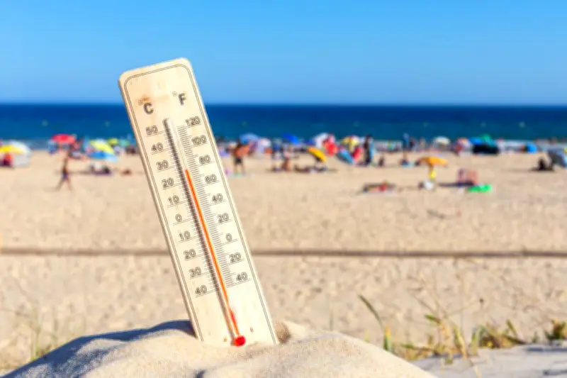
The prolonged heatwave gripping the West Midlands and Shropshire is finally set to break, with thunderstorms and significantly cooler temperatures forecast from Friday, according to the Met Office. After days of soaring temperatures reaching up to 30°C (86°F) in some areas, a dramatic shift in weather patterns will bring relief to residents.
When Will the Heatwave End?
The Met Office has issued a yellow thunderstorm warning for the region, valid from 12:00 BST on Friday until 21:00 BST. The warning covers large parts of the West Midlands, including Birmingham, Wolverhampton, and Coventry, as well as Shropshire. The storms are expected to bring heavy rain, frequent lightning, and potential disruption to travel and outdoor activities.
Temperatures are forecast to drop to around 20°C (68°F) by Saturday, a stark contrast to the high 20s and low 30s experienced earlier in the week. The change is due to a low-pressure system moving in from the Atlantic, pushing the hot air eastwards.

What to Expect from the Thunderstorms
The Met Office warns that the thunderstorms could cause flooding in some areas, with up to 30mm of rain falling in a short period. There is also a risk of hail and strong gusty winds. Residents are advised to secure loose garden furniture and avoid driving through floodwater.
According to a Met Office spokesperson, “The thunderstorms will be hit and miss, but where they occur, they could be intense. We urge people to stay safe and check the latest forecasts.”
Impact on Daily Life
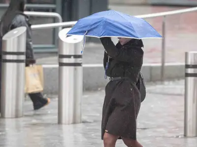
The sudden change in weather may disrupt travel, with potential delays on roads and public transport. The Environment Agency has warned of possible surface water flooding, particularly in urban areas. Outdoor events and activities scheduled for Friday and Saturday may be affected.
However, the cooler conditions will provide relief for those struggling with the heat, especially vulnerable groups such as the elderly and those with respiratory conditions. The heatwave had prompted health warnings from the UK Health Security Agency.
Long-Term Forecast
Beyond the weekend, the weather is expected to remain unsettled, with further showers and cooler temperatures. The Met Office’s long-range forecast suggests that the heatwave has broken for good, with more typical British summer weather returning.
For the latest updates, residents are advised to follow the Met Office’s warnings and local news outlets.