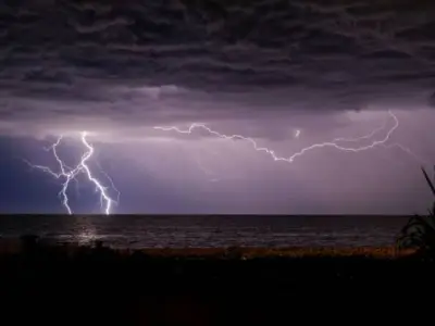
Weather maps from WX Charts indicate that the next UK heatwave will last five days and could bring record-breaking temperatures of 41°C to Birmingham, surpassing the 2022 record. The heatwave is expected to begin on July 6, with temperatures reaching 30°C, intensifying through July 7, 8, and 9, and peaking around 41°C on July 10 and 11.
Forecast Details
Based on the GFS modelling system, the heatwave will be even hotter than the June heatwave. Elizabeth Rizzini from BBC Weather stated: "Some weather models are suggesting a similar weather pattern to the record-breaking heatwave in June, with more extreme forecast temperatures of 35°C." She added: "What we do know is that heatwaves in the UK are becoming more intense and frequent due to human-induced climate change. The long-term forecast also suggests significant bursts of heat are still likely in July and August."
BBC Long-Range Outlook
Looking at the week of Monday 6 to Sunday 12 July, the BBC said: "High pressure may be influential again. The second week of July could be strongly influenced by high pressure, which may become centred closer to the UK or Ireland. This will push the jet stream further north and lead to more settled weather across most areas. It should be drier than normal, even if some areas don't entirely miss some showers."

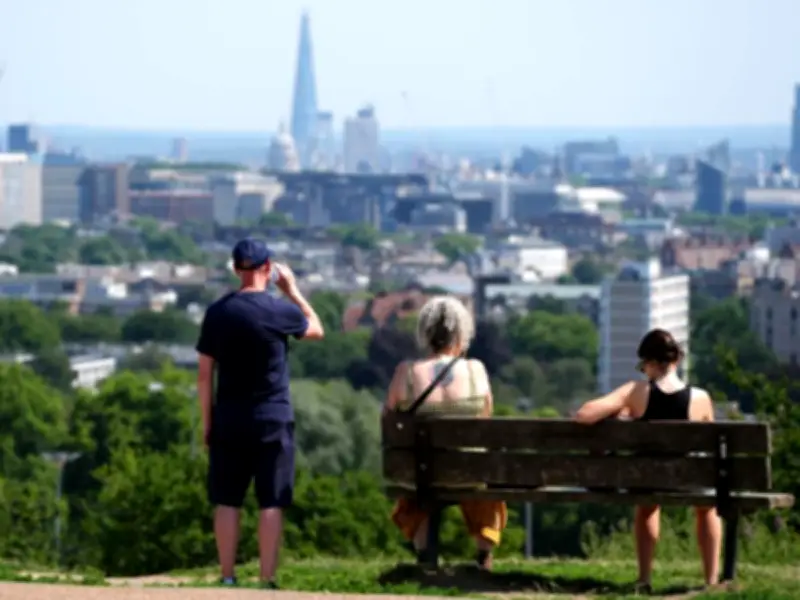
The wettest and breeziest conditions are expected across Scotland, particularly the west and north, as Atlantic frontal systems move around the northern flank of the high pressure. Temperatures will depend on the exact position of the high pressure, but they are more likely to be above average, with southern regions potentially warming several degrees above normal. Scotland should see temperatures fluctuating around the seasonal average. The risk to this forecast is that high pressure stays farther west, resulting in cooler flows and wetter weather.