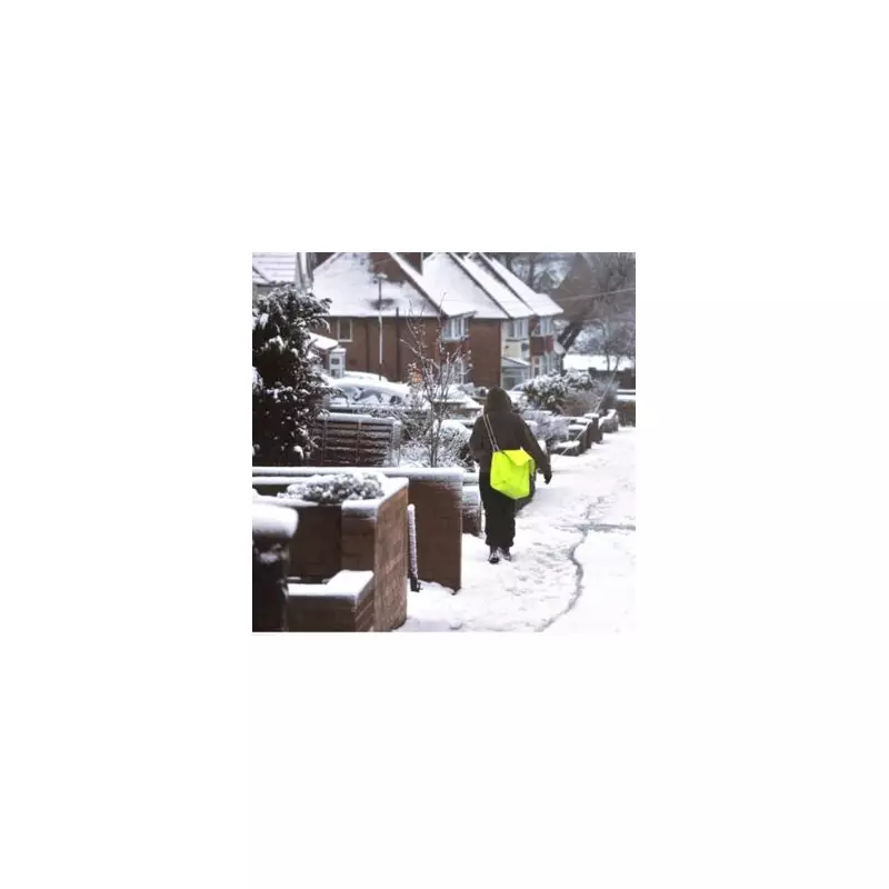
The United Kingdom is bracing for a significant and widespread winter weather event in the New Year, with forecasters predicting a 760-mile-long snowstorm that could blanket the country from the south coast to the northernmost reaches of Scotland.
Arctic Bomb Set to Bring Deep Freeze and Heavy Snow
According to advanced weather modelling, an intense Arctic air mass, described as an "Arctic bomb," is expected to hammer England and Scotland on January 3. This system will usher in bitterly cold conditions, with temperatures potentially dropping as low as -9C in some regions, alongside snowfall accumulations of up to four inches.
The snow is forecast to span an immense distance, from Cornwall in the south-west all the way to Wick in Scotland, covering a span of approximately 760 miles. Maps from WX Charts indicate the wintry weather will spread from the North East of England into East Anglia as the system develops.
Regions at Risk and Forecast Timeline
While the most severe impacts are currently projected for January 3, the period around the New Year is expected to see a major deterioration in conditions. The areas most at risk include the Scottish Highlands, central Scotland, the Borders, and the North East of England.
Remarkably, even parts of the south-west, including Cornwall, could see a dusting of snow. The predictions are based on data from the GFS advanced modelling system analysed by The Met Desk.
Expert Analysis: Snow Could Arrive Soon After Christmas
Leading forecaster James Madden from Exacta Weather has provided detailed insight into the evolving situation. He states that after a cold and dry Christmas period with potential for wintry weather on higher ground in the north, the well-anticipated cold snap will intensify.
"The snow will enhance on our part and be primed and ready to deliver within days of Christmas Day this year," Mr Madden said. He identified the period of December 27–29 as a currently favourable window for snowfall, noting that projections could still shift or intensify.
He added a crucial update for Boxing Day: "Additionally, because of this, some snow showers could even turn up in parts further south of Scotland and northern England from as early as Boxing Day."
Residents across the UK, particularly in the highlighted risk zones, are advised to monitor official forecasts from the Met Office and Exacta Weather closely as the New Year approaches, and to prepare for potentially disruptive winter travel conditions.


