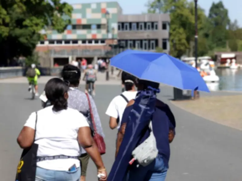
The Met Office has urged UK households to keep three items on them from Monday as the UK heatwave intensifies, with 34C highs possible. An amber weather warning has been declared from 1am on June 22, lasting until 11.59pm on Tuesday, June 23.
Advice from the Met Office
In its guidance, the Met Office states: "If you are going out take water with you, stay in the shade, wear sunscreen and a wide brimmed hat." The warning highlights potential health impacts for those vulnerable to extreme heat, as well as the possibility of heat-related issues for the wider population. A combination of higher humidity and temperatures remaining high overnight exacerbate health impacts.
Temperature Forecast
The warning comes as 34C highs are anticipated at times, with hopes the heatwave will regress from the middle of next week, though those in the south and east are likely to hold on to the warmth the longest. The warmth also brings the risk of some thundery downpours for some on Monday and Tuesday, though these should be fairly isolated.

BBC forecaster Ben Rich said: "Temperatures on Friday are due to peak at 31-32C in south-east England, although it will remain cooler in northern and western parts of the UK where rain will continue to fall. Slightly cooler air will arrive from the west on Saturday, although highs of 27 or 28C are still likely."
He added: "However, heat will build again from Sunday and by Monday and Tuesday temperatures will peak at 34 or 35C in south-east England. By that stage, large swathes of England and Wales will see highs into the high-20s or low-30s Celsius."
Outlook
The next week will have a warmer and drier trend as high pressure builds, with some hot days likely in parts of the southern UK but also occasional chances of thunderstorms. Scotland and Northern Ireland may be wetter at times but also warm, and early to mid-July may become more unsettled and less warm.