The West Midlands, including Birmingham, has been plunged into a deep freeze as the new year begins, with significant snowfall and icy conditions causing disruption across the region.
Frosty Start to 2026 Brings Travel Chaos
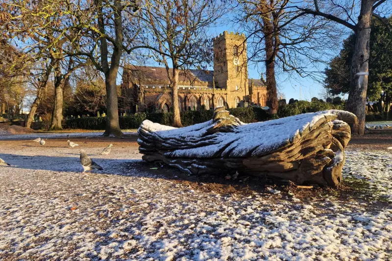
Residents across the West Midlands woke on Friday 2 January 2026 to a landscape transformed by frost and snow, which fell in the early hours. The Met Office responded by issuing a yellow weather warning for snow and ice, highlighting the hazards posed by the sudden cold snap.
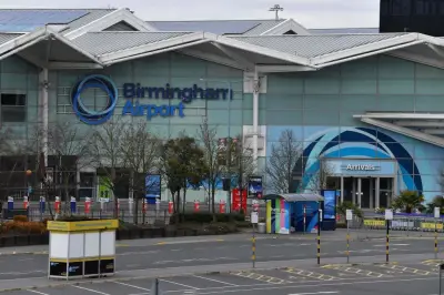
The immediate impact was felt on the transport network, with bus services across Birmingham forced to divert from their usual routes due to the treacherous road conditions. This early-January freeze has set the tone for what forecasters warn could be a prolonged period of very cold weather.

Weekend Sunshine Gives Way to Further Wintry Hazards
According to the Met Office, Saturday 3 January will bring a contrast, with plenty of sunshine expected throughout the day. However, temperatures will remain stubbornly low due to an ongoing breeze, making it feel bitterly cold.
The forecast for Sunday 4 January through to Tuesday 6 January suggests the cold spell will persist. The weather is predicted to be cold but largely dry with winter sunshine by day and frost by night. There is a chance of cloudier conditions on Tuesday, with some rain and the possibility of snow over higher ground.
Arctic Air Blast and Snow Forecast for Next Week
The root cause of this intense cold is a mass of cold Arctic air that has enveloped most of the UK. Chief Forecaster Neil Armstrong of the Met Office stated, "With Arctic air now covering most of the UK very cold weather will continue through the weekend, with minus double figures overnight in places and daytime temperatures struggling to rise above 0°C for some."
He further cautioned that "this cold spell could last well into next week and wintry hazards will continue with more weather warnings likely." In line with this, data from WX Charts indicates that further snowfall could reach parts of Birmingham as soon as Wednesday 7 January. Their weather map projections, which use blue and purple shading to indicate snow depth, suggest some areas may see significant accumulations.
The key advice from forecasters is for the public to stay informed by keeping up to date with the latest official forecasts and warnings from the Met Office, and to plan journeys and activities carefully during this period of severe winter weather.