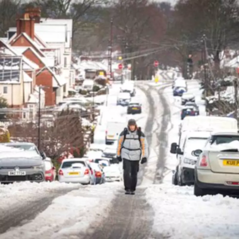
New weather mapping data has revealed a stark forecast for the United Kingdom, with temperatures expected to plummet to a bone-chilling -9C in parts of Scotland. The entire nation is bracing for a significant cold snap, with England also facing sub-zero conditions and widespread snowfall predicted in the coming days.
Widespread Snow and Sub-Zero Temperatures Forecast
Detailed charts from WXCHARTS indicate that England could be blanketed by 3 to 6 centimetres of snow, equivalent to 1.2 to 2.4 inches. The most severe cold is anticipated on February 12th, with Scotland experiencing a temperature range between -3C and a severe -9C. Meanwhile, England will face its own freeze, with temperatures forecast to range from 0C down to -5C.
Met Office Issues Unsettled Outlook
The Met Office's latest ten-day weather outlook suggests that the jet stream will drive a series of low-pressure systems towards Britain, bringing further rainfall across the country. A spokesperson for the national weather service stated: "A subtle shift southwards of these areas of low pressure is anticipated during the second week of February, which may allow a greater chance of colder air to spread across northern UK at least, bringing an increased risk of wintry hazards for a time."
This increased risk of wintry weather is deemed most probable across a broad swathe of the country, stretching from southern Scotland through north Wales and into the Midlands region.
Immediate Forecast: Rain, Wind, and Localised Snow
Looking at the immediate forecast from Saturday, January 31st to Wednesday, February 4th, the Met Office confirms that conditions will remain unsettled. Widespread cloud is expected to persist, bringing further showers or extended periods of rain to many areas, particularly in northern regions.
Central and southeastern England may see drier interludes, though any breaks in the cloud could lead to isolated fog patches forming. Sunday is forecast to bring more cloud with additional outbreaks of rain, which will tend to intensify across eastern areas during the day. Brighter conditions are expected to emerge in the west, but the northeast will experience blustery winds.
The outlook for Monday through Wednesday remains consistently unsettled. Most regions can anticipate showers or prolonged bouts of heavy rain, accompanied by blustery winds. Furthermore, northern hills should prepare for further snowfall, with temperatures dipping below the seasonal average across the north of the UK.


