
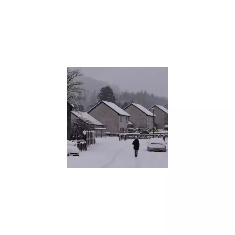
A major winter weather system dubbed a 'snow bomb' is now predicted to strike parts of England significantly earlier than first anticipated, with New Year's Day 2026 set to bear the brunt of the freezing conditions.
Forecast Shift Brings Icy Start to 2026
Initial projections from weather analysts had pointed towards a severe snow event around January 6 or 7. However, the latest data has brought this forward dramatically. Forecasters now indicate that blizzards could sweep across the country as 2025 turns into 2026, marking a bitterly cold start to the new year.
Weather maps from WX Charts, which utilises Met Desk data, show a band of snow moving from Aberdeenshire in Scotland all the way down to Suffolk in southern England. The most intense activity is currently modelled for the night of New Year's Eve into New Year's Day.

Regions Braced for Heavy Snow and Deep Freeze
The heaviest snowfall is anticipated across East Yorkshire and Humberside. Meanwhile, residents in the East of England and Home Counties, including areas like Buckinghamshire and Bedfordshire, are being warned to prepare for a severe chill.
It is expected to feel as cold as -6C in these regions due to the combined effect of low temperatures and wind. This deep freeze poses potential risks for travel disruption and public health as the nation celebrates the New Year.
Extended Chilly Spell Expected into January
Looking beyond the immediate 'snow bomb' event, the broader outlook for early January remains cold. A BBC Weather team update states that rather dry and cold conditions should linger through the rest of December and into January.
The forecast explains: "The first week or so of January should stay chilly but with a greater chance of occasional precipitation later." It notes that the duration of the cold is uncertain, but there is a chance of milder weather appearing around mid-January.
The update adds that for several days, winds from the north-west could maintain cold conditions with occasional wintry showers. During the second week of January, high pressure may move southwards again, potentially bringing drier conditions, frosty nights, and fog. However, a shift to milder, wetter weather remains possible by the middle of the month.


