
The date for the next significant wintry blast to strike the UK has been moved forward, with forecasters now warning that a severe cold snap will begin this Thursday. Urgent warnings have been issued for parts of the country as temperatures are predicted to plummet to a staggering -8 degrees Celsius.
Severe Freeze Targets Scotland and Northern England
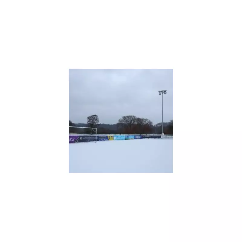
According to data from WX Charts using Met Desk information, the most extreme conditions are expected in Scotland. The Cairngorms National Park is forecast to see the mercury drop to that bone-chilling -8C low. A widespread freeze, with temperatures ranging from -1C to -7C, will envelop areas from Aberdeenshire across to Glasgow.
In Northern England, the returning snow event will bring conditions close to 0C. Weather maps indicate a turn to white from the Lake District northwards. The English counties most at risk include Cumbria, Northumberland, and Durham. Southern Scotland and the Borders are anticipated to receive a light dusting of around 2cm of snow.

Heavy Snow Depths and Evolving Forecast
Further north, the situation is more severe, with parts of Scotland potentially bracing for snow depths of up to 27cm. The BBC Weather forecast for the period from Friday, 9 January to Sunday, 18 January outlines an unsettled pattern that will eventually become milder.
The BBC team states that Saturday should be largely dry and bright due to a passing ridge of high pressure, although it will remain colder than average. Any wintry showers near North Sea coasts are expected to fade away.
However, a significant change is due on Sunday. The forecast explains: "An Atlantic frontal system looks like heading in and bringing some more snow on Sunday, at least across the northern UK and especially over higher elevations. Some of it will be rather heavy and accompanied by strengthening winds."
Milder Air to Follow Initial Blast
The system will be driven by an associated area of low pressure deepening and moving past Northern Ireland and Scotland. The BBC adds that rain is more probable in southern and western areas as slightly milder air arrives with this weather front. Even in the north, the snow is likely to turn mostly to rain as temperatures begin to climb.
In its broader weekly outlook, the BBC signals a notable shift: "A notable change in the weather pattern is afoot, with much milder conditions developing as an often wet and windy pattern sets in." Forecasters have indicated they will monitor whether this mild trend holds or if signals for colder conditions to return emerge.
Residents across the highlighted regions, particularly in Scotland and northern England, are advised to prepare for disruptive winter weather from Thursday onwards, including potential travel delays and icy conditions.


