
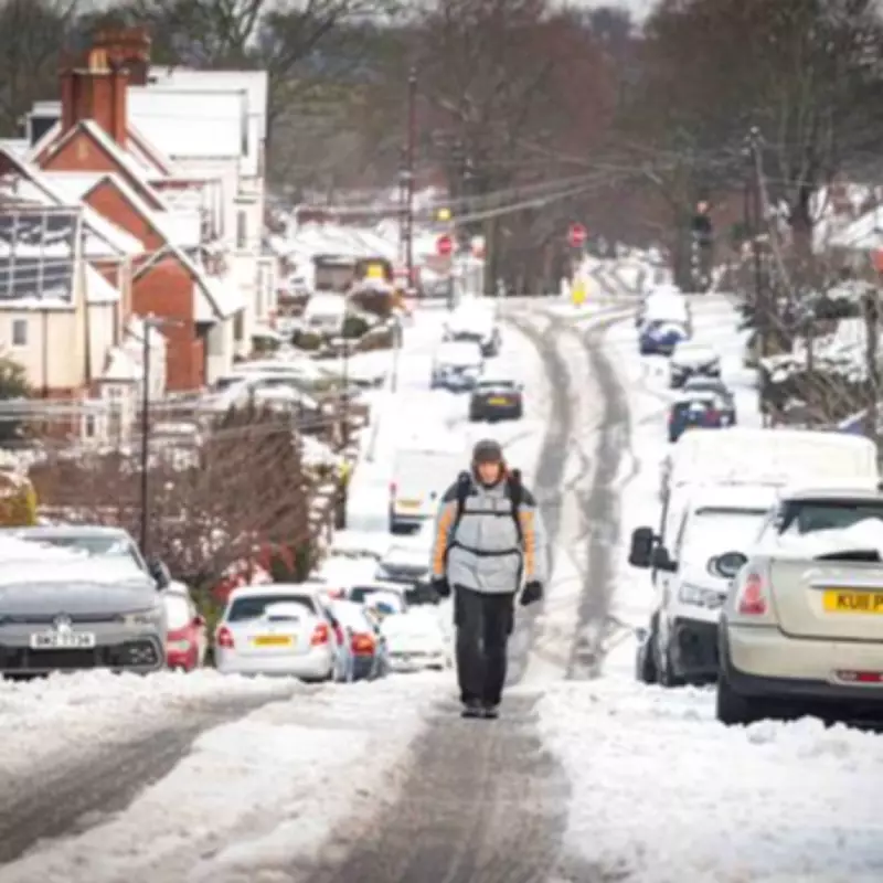
A significant weather event is poised to impact the United Kingdom, with a 560-mile barrage of snow forecast to sweep from the Midlands all the way to the north of Scotland. This extensive wall of wintry precipitation is expected to bring challenging conditions to a vast swathe of the country in the coming days.
Timing and Extent of the Snowfall
According to detailed projections from WXCharts, the initial onset of this substantial snowfall is currently predicted for approximately 6am on Sunday, February 15. The system is anticipated to create a continuous band of snow stretching across hundreds of miles, significantly affecting travel and daily life.
Regional Snow and Temperature Forecasts
The Midlands region is set to be heavily impacted. Areas including Stoke-on-Trent are forecast to receive around 2 centimetres of snow accumulation. Concurrently, temperatures are expected to plummet, with Birmingham likely seeing the mercury drop to a chilly 1°C at the same time on February 15.

The cold snap will extend northwards with even lower temperatures. Newcastle is bracing for lows of -2°C, while Manchester could experience temperatures as cold as -1°C. The most severe chill is forecast for Central Scotland, where temperatures could plunge to a biting -6°C at 6am on that Sunday.
Met Office Long-Range Outlook
The Met Office's official long-range forecast for the period from February 13 to February 22 indicates a shift towards colder conditions. They state that the early part of this period could see "colder conditions becoming established more widely for a time, bringing with it the likelihood of some snow, primarily to the north and northeast."
This colder, snowier spell may provide a temporary respite from the persistently wet weather that has affected southern regions. However, the forecast suggests a return to unsettled conditions later in the period. The Met Office notes, "By the end of this period, the track of Atlantic depressions may shift a little further north... This will maintain broadly unsettled weather, with further spells of rain and perhaps strong winds at times."
While many areas may see a return to milder, westerly-influenced weather, there remains a distinct possibility that colder conditions could persist, particularly across northeastern parts of the UK.
Residents across the affected regions are advised to stay updated with the latest weather warnings and travel advice as this significant snow event develops.


