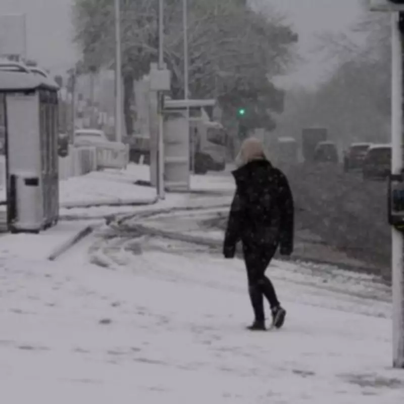
UK Braces for Extended Snowfall Spanning Two Weeks
New meteorological data indicates that the United Kingdom is set to experience a prolonged period of wintry weather, with snowfall predicted to affect various regions for fourteen consecutive days. Detailed projections from WX Charts, which utilises information from the Met Desk, have pinpointed the precise timeframe for this significant weather event.
Confirmed Timeline for Widespread Snow
The charts clearly show that snow will begin to fall across parts of the country from midnight on Wednesday, February 11. This wintry precipitation is then forecast to persist without interruption until midnight on Wednesday, February 25, marking a full fortnight of potential disruptions. The maps illustrate accumulations and flurries, even minor ones, occurring daily throughout this extended period.
Official Weather Warnings in Place
This forecast coincides with an official yellow weather warning for snow issued by the Met Office, effective from Wednesday, February 11. The warning highlights a nationwide deterioration in conditions. BBC Weather Lead presenter, Sarah Keith-Lucas, provided further context, stating, "The unsettled weather pattern is expected to continue for another few days with low pressure systems pushing rain-bearing weather fronts in."
Detailed Forecast and Regional Impacts
The immediate outlook remains damp and cloudy. Tuesday is expected to bring further rainfall, particularly affecting flood-prone regions. Eastern Scotland could see another 40-60mm of rain over higher ground, with heavier downpours likely in south-west England and Wales.
By Wednesday, the focus of wet weather shifts to the northern half of England and Scotland again. Crucially, precipitation in eastern Scotland is expected to increasingly turn to snow. Further south, conditions may become more showery with occasional drier spells.
A Shift to Colder Conditions
A change is anticipated later in the week. "For Thursday and Friday, colder and drier conditions are expected to develop from the north, slowly filtering south," explained Keith-Lucas. This will bring wintry showers to Scotland and potentially the first sunshine in Aberdeen for over twenty days.
The persistent rain and hill snow should gradually ease across most areas, leading to a largely dry but cold Saturday with widespread sunshine, offering a brief respite from the extended period of unsettled weather.


