
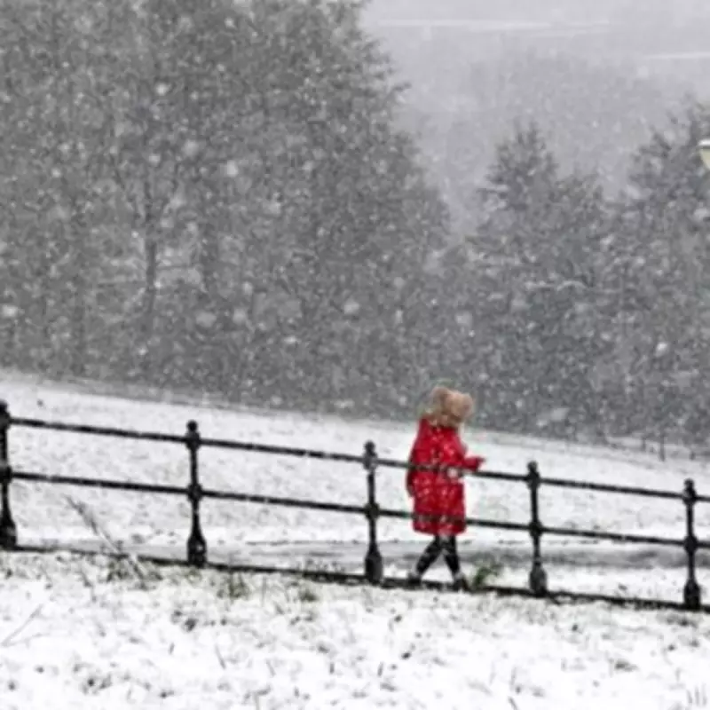
The United Kingdom is on high alert as meteorological models predict an extensive 557-mile snow storm set to sweep across the nation, with nine counties in England facing the most severe impacts. According to detailed snow maps from WX Charts, vast swathes of England and Scotland could be buried under significant snow flurries, creating challenging conditions for residents and transport networks.
Forecast Details and Affected Regions
Current projections indicate that freezing conditions are likely to stretch from the northern tip of Scotland, including areas like Wick, all the way down to Lincolnshire in England. Temperatures are expected to plummet to a bone-chilling -3°C, particularly north of the border in Scotland, where accumulations could reach up to 12 inches of snow. This dramatic drop in temperature underscores the severity of the incoming weather system.
Counties at Highest Risk in England
In England, Lincolnshire has been highlighted as a primary area of concern. It is joined by several other northern counties that are bracing for heavy snowfall. The full list of worst-hit counties includes:

- Durham
- Cumbria
- Northumberland
- Greater Manchester
- Cheshire
- Lancashire
- Yorkshire
- Staffordshire
These regions are advised to prepare for potential disruptions to daily life, travel, and infrastructure as the storm approaches.
Met Office Outlook and Broader Forecast
The Met Office has provided a forecast covering the period from February 11 to February 15, describing unsettled conditions with persistent cloud and outbreaks of rain. The forecast notes that hill snow is expected in the north, accompanied by fairly windy conditions, especially near the English Channel. While the south may experience milder spells initially, the overall pattern remains volatile.
Overnight, rain and hill snow are predicted to continue, with sleet potentially moving to lower levels. Another band of cloud and rain is forecast to move into the south, clearing by dawn, while fog may form in clearer spells. As the week progresses, rain in the north is expected to push southwards, allowing brighter skies to develop across Scotland, though snow showers may persist in the northeast.
Weekend and Late February Predictions
Looking ahead to the weekend, the outlook from Friday to Sunday suggests that cloud and rain will continue to move southwards, introducing more sunshine by Saturday. However, temperatures are set to turn colder, leading to widespread frost and ice overnight. Unsettled conditions are likely to return by Sunday, maintaining the unpredictable weather pattern.
For late February, the Met Office anticipates that Atlantic low-pressure systems will dominate, bringing showers or longer spells of rain across the UK. Heavy rain is probable in some areas, particularly on western hills, with occasional snow in the north, mainly on high ground. Strong winds are also possible, especially around coastal regions. Temperatures are expected to remain near normal, but there is a chance that drier, more settled conditions could develop later in the period.
Residents across the affected counties are urged to stay updated with local weather advisories and take necessary precautions as this significant snow storm approaches. The combination of low temperatures, heavy snowfall, and potential wind gusts could lead to hazardous travel conditions and increased demand on emergency services.


