
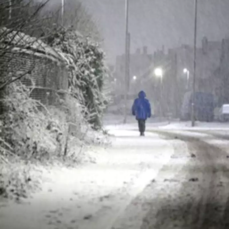
The BBC Weather team has issued a detailed forecast highlighting multiple areas across the United Kingdom that are likely to experience snowfall before the end of the weekend. According to the latest meteorological updates, a significant weather system is set to bring wintry conditions to various regions, with hill snow and colder spells expected to develop.
Forecast Details for Key UK Regions
In a written five-day forecast covering the period from February 11 to February 16, the BBC indicates that prolonged spells of rain will push northward across northern areas. This will be accompanied by heavier rain and hill snow specifically in Scotland. The forecast suggests that flurries may extend further south as well, affecting a broader swathe of the country.
Short-Term Weather Outlook
For Wednesday, February 11, the BBC update describes a briefly bright start in the south, with increasing cloud and rain expected later in the day. Overnight, conditions will turn cloudy for most regions, with patchy rain in the north that may transition to snow over elevated terrain. Southern areas are predicted to remain mostly cloudy with showers, while windy conditions are anticipated in the north and along Channel coasts.

Areas Identified for Potential Snowfall
The BBC has specifically named the following areas as being at risk of snow before Sunday night:
- North England
- Scotland
- East coast of England
- Southern half of England
- England's hills
- Scotland's hills
Extended Forecast Through the Weekend
Looking ahead to Thursday, the forecast predicts mostly cloudy and wet conditions with rain moving across England and Wales. North England and Scotland will experience showers, which are likely to fall as snow over hills. Windy weather is expected to persist in the south-west.
Friday to Sunday Outlook
From Friday to Sunday, the weather pattern remains unsettled. Friday could see spells of rain and hill snow initially in the southern half of the UK, with snow showers pushing into north and east coasts throughout the day. Saturday is forecast to be a crisp, bright day for most, although some lingering wintry showers may affect east coasts. Overnight into Sunday morning, a band of rain is expected to move in from the west, falling as snow initially in northern regions.
Broader Weather Trends and Implications
The BBC notes that a brief colder period will develop later this week, bringing with it some wintry precipitation, particularly in northern areas. While milder weather is anticipated to return next week and into late February, there could still be intermittent colder shots of air between weather systems, especially across Scotland. Looking further ahead, by early March, conditions may become drier as high pressure potentially becomes more dominant, offering a respite from the wintery mix.
This forecast underscores the variability of UK weather during the winter months, with residents advised to stay updated on local conditions and prepare for potential travel disruptions due to snow and icy conditions in the identified regions.


