
New weather projections indicate that the anticipated UK snow bomb has been brought forward by a full 48 hours, with parts of England now facing a major snow storm sooner than previously expected. According to the latest data from WX Charts, utilising Met Desk information, snow will impact numerous regions across the country on Friday, February 13th.
Revised Timeline and Widespread Impact
This revised forecast means the significant weather event will commence on Friday, rather than the initially projected start date of Sunday, February 15th. During the snow storm, temperatures are predicted to plummet, potentially dropping to as low as 2°C in some areas. The most severe conditions are likely to be experienced in Scotland, where the mercury will fall sharply.
Projected Snowfall Accumulations
Accumulation projections and depth charts reveal particularly heavy snowfall north of the border. Inverness, for instance, could be confronted with up to 38 inches of snow, creating challenging conditions for residents and travellers alike. Meanwhile, several major towns and cities across England are also set for substantial snowfall.

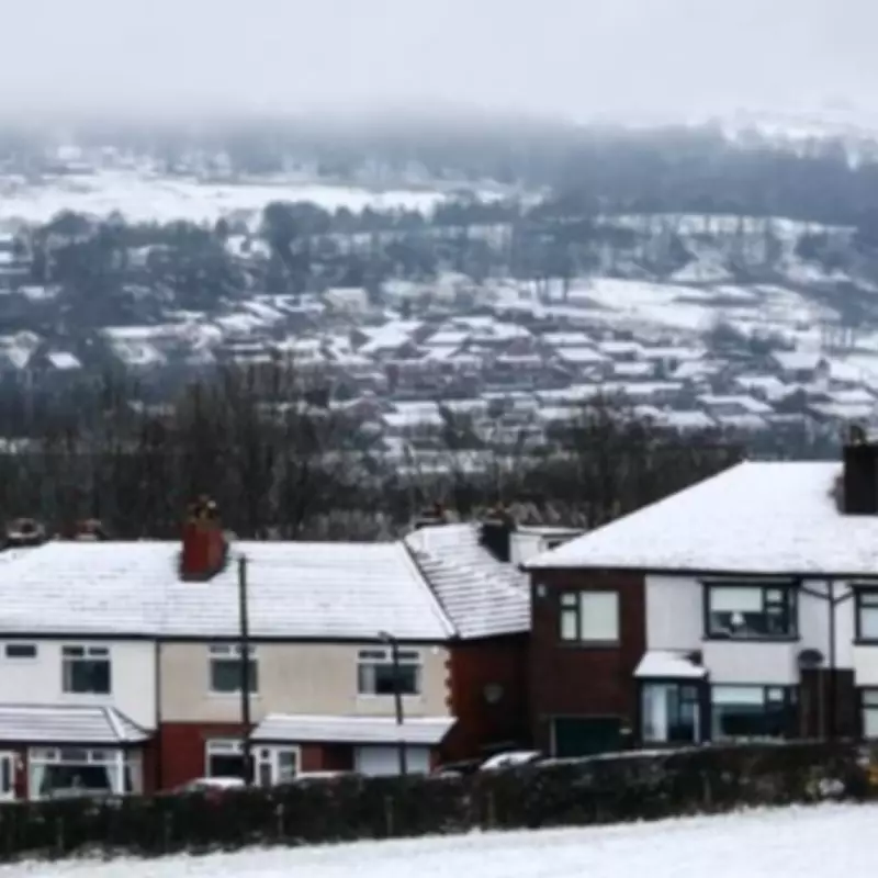
Urban centres including Manchester, York, Leeds, Liverpool, Newcastle, Swansea, Gloucester, and Birmingham are forecast to experience snowfall rates of 3-4 cm per hour during the peak of the storm. This intensity could lead to rapid accumulations and potential disruption to transport networks and daily activities.
Met Office Short-Term Forecast
The Met Office has issued its short-term forecast for Monday, February 10th, stating: "Further rain this week, before turning colder this weekend. A cloudy start for many with outbreaks of rain and drizzle. A spell of heavy showery rain will move into the south through the day with brighter spells at times. Outbreaks of rain continuing in the north."
Detailed Outlook for the Week
Looking ahead to Tuesday night, the forecast adds: "Staying cloudy with further outbreaks of rain. Mild in the south, but chilly in the north, with snow over Scottish hills." The outlook for Wednesday, February 11th, indicates: "Staying largely cloudy with outbreaks of rain for most. Fairly windy and cold in the north, but lighter winds and milder in the south."
For the period from Thursday to Saturday, February 12th to 14th, the Met Office predicts: "Unsettled at first with further outbreaks of rain. Turning colder from Friday with a chance of snow showers, particularly in the north. Dry, cold and sunny for many on Saturday."
BBC Weather Team Assessment
The BBC Weather team corroborates this evolving situation, stating: "Tomorrow, there will be prolonged spells of pushing northward across northern areas with spells of heavy rain and hill snow in Scotland. Briefly bright in the south, with further showery rain later." This assessment aligns with the broader pattern of deteriorating conditions leading into the early snow event.
Residents across the affected regions are advised to monitor official weather updates closely and prepare for potentially hazardous travel conditions as this significant snow storm approaches earlier than anticipated. The combination of low temperatures and heavy snowfall rates could create widespread impacts, necessitating caution and appropriate winter readiness measures.


